Welcome to The Reef Authority
Great Barrier Reef Marine Park Authority
Search
Add filters:
Use filters to refine the search results.
Item hits:


Discover
Year of publication
- 22 2020 - 2029
- 97 2010 - 2019
- 112 2000 - 2009
- 27 1990 - 1999
- 30 1980 - 1989
- 1 1979 - 1979
Type
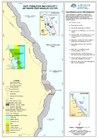
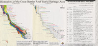
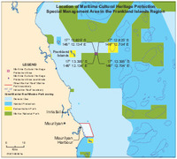
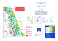
- 105 Map
- 94 Report
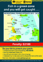
- 34 Brochure
- 25 Site Plan
- 8 Site Management Arrangements
- 5 Guidelines
- 5 Other
- 4 Policy
- 1 Form
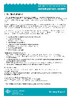
- 1 Information sheet
- next >
Category