Please use this identifier to cite or link to this item:
https://hdl.handle.net/11017/285

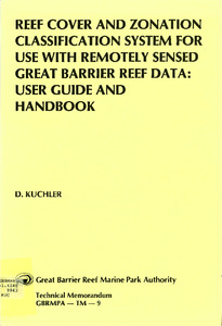
| Title: | Reef cover and zonation classification system for use with remotely sensed Great Barrier Reef data : user guide and handbook |
| Authors: | Great Barrier Reef Marine Park Authority |
| Keywords: | Aerial photography;Landsat satellites;Remote sensing;Great Barrier Reef (Qld.);Nomenclature |
| metadata.dc.subject.asfa: | Remote sensing Coral reefs |
| APAIS Subject: | Classification Mapping |
| metadata.dc.subject.location: | Reef-wide |
| metadata.dc.subject.category: | Processes Geographic features Research |
| Year of publication: | 1987 |
| Publisher: | Great Barrier Reef Marine Park Authority |
| Series/Report no.: | Technical memorandum TM-9 Technical memorandum series |
| Abstract: | The operational use of the Reef Cover and Zonation Classification System for use with Remotely Sensed Great Barrier Reef data, is outlined. A recommended data recording handbook is described for efficient recording from the classification system, whether it be in the laboratory or the field. The handbook is designed to be in the palm of one hand and to be water resistant when used in the field. It comprises the classification system and data cards which are stored in an inside pocket. Each card has facilities for eight sample site recordings. |
| URI: | https://hdl.handle.net/11017/285 |
| ISBN: | 9780642525611 |
| Type of document: | Report |
| Appears in Collections: | Ecosystems |
Files in This Item:
| File | Description | Size | Format | |
|---|---|---|---|---|
| Reef-Cover-Zonation-Classification-handbook.PDF | main report | 3.19 MB | Adobe PDF |  View/Open |
Items in ELibrary are protected by copyright, with all rights reserved, unless otherwise indicated.
