Management Collection home page

Logo
The vast Great Barrier Reef is a multiple use area that supports a range of uses and industries.

Browse
in this collection
Subscribe to this collection to receive daily e-mail notification of new additions RSS Feed RSS Feed RSS Feed
Collection's Items (Sorted by Submit Date in Descending order): 181 to 200 of 831
ViewDateTitleAuthor(s)Type
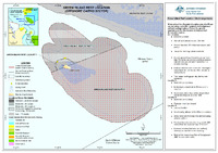
SDC190511i-GreenIslandReefLocation.pdf.jpg2019Green Island Reef Location (Offshore Cairns Sector)Spatial Data CentreMap 
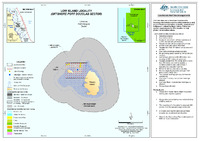
SDC190511g-LowIslandLocality.pdf.jpg2019Low Island Locality (Offshore Port Douglas Sector)Spatial Data CentreMap 
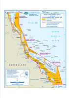
Designated-Shipping-Area.pdf.jpg2004Designated Shipping Areas within the Great Barrier Reef Marine ParkSpatial Data CentreMap 
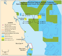
140501a-FranklandsCatalina-A24-25SMA-MediaMap.pdf.jpg2016Location of Maritime Cultural Heritage Protection Special Management Area in the Frankland Islands regionSpatial Data CentreMap 
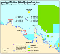
130921a-BowenCatalina-A24-24SMA-MediaMap.pdf.jpg2016Location of Maritime Cultural Heritage Protection Special Management Area in the Bowen regionSpatial Data CentreMap 
New SDC190511f-LizardIslandLocations.pdf.jpg2019LIzard Island Localities (Lizard Island Sector)Spatial Data CentreMap 
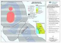
SDC190511e-CodHoleLocality.pdf.jpg2019Cod Hole Locality (Ribbon Reefs Sector)Spatial Data CentreMap 
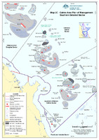
SDC190511d-Map2CCairnsAreaPlanOfManagement-DetailedSectors.pdf.jpg2019Map 2C: Cairns Area Plan of Management: Southern Detailed SectorSpatial Data CentreMap 
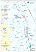
SDC190511c-Map2BCairnsAreaPlanOfManagement-DetailedSectors.pdf.jpg2019Map 2B: Cairns Area Plan of Management: Central Detailed SectorSpatial Data CentreMap 
SDC190511b-Map2ACairnsAreaPlanOfManagement-DetailedSectors.pdf.jpg2019Map 2A: Cairns Area Plan of Management: Northern Detailed SectorSpatial Data CentreMap 
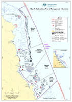
SDC190511a-Map1CairnsAreaPlanOfManagement-Overview.pdf.jpg2019Map 1: Cairns Area Plan of Management: OverviewSpatial Data CentreMap 
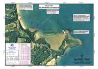
clump_point_locality_map.pdf.jpg2005Site Management Arrangements: Clump PointGreat Barrier Reef Marine Park AuthorityMap 
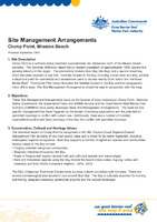
ClumpPointSMA_2005.pdf.jpg2005Site Management Arrangements: Clump Point, Mission BeachGreat Barrier Reef Marine Park AuthoritySite Management Arrangements 
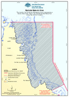
SDC190401-RemoteNaturalArea.pdf.jpg2019Remote Natural AreaSpatial Data CentreMap 
Fitzroy-Reef-site-specific-plan.pdf.jpg2006Site Management Arrangements: Fitzroy ReefGreat Barrier Reef Marine Park AuthoritySite Management Arrangements 
Keppel-Bay-Islands-site-specific-plan.pdf.jpg2008Site Management Arrangements: Keppel Bay and IslandsGreat Barrier Reef Marine Park AuthoritySite Management Arrangements 
Lady-Elliot-Island-and-Reef-site-specific-plan.pdf.jpg2007Site Management Arrangements: Lady Elliot Island and ReefGreat Barrier Reef Marine Park AuthoritySite Management Arrangements 
Bauer-Bay-site-specific-plan.pdf.jpg2008Site Management Arrangements: Bauer Bay, South Molle IslandGreat Barrier Reef Marine Park AuthoritySite Management Arrangements 
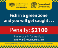
Green-zone-fishing_penalty.jpg.jpg2018Fish in a green zone and you wil get caught... [graphic]Great Barrier Reef Marine Park Authority; Queensland GovernmentOther 
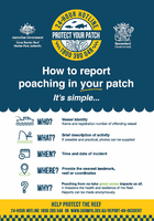
How-to-report-poaching_portrait.jpg.jpg2018Protect your patch [graphic]Great Barrier Reef Marine Park Authority; Queensland GovernmentOther 
Collection's Items (Sorted by Submit Date in Descending order): 181 to 200 of 831