Welcome to The Reef Authority
Great Barrier Reef Marine Park Authority
Please use this identifier to cite or link to this item:
https://hdl.handle.net/11017/3555
Full metadata record
| DC Field | Value | Language |
|---|---|---|
| dc.date.accessioned | 2019-12-20T00:24:02Z | - |
| dc.date.available | 2019-12-20T00:24:02Z | - |
| dc.date.copyright | 2019 | en |
| dc.date.issued | 2019 | en |
| dc.identifier.uri | https://hdl.handle.net/11017/3555 | - |
| dc.publisher | Great Barrier Reef Marine Park Authority | en |
| dc.rights | © Commonwealth of Australia (Great Barrier Reef Marine Park Authority) | en |
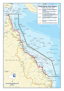
| dc.title | Great Barrier Reef catchment areas and general reference map | en |
| dc.type | Map | en |
| dc.subject.asfa | Maps | en |
| dc.format.pages | 1 | en |
| dc.description.notes | SDC 190101-15a | en |
| dc.contributor.corpauthor | Spatial Data Centre | en |
| dc.publisher.place | Townsville | en |
| dc.subject.collection | Managing Multiple Use | en |
| dc.relation.connectiontogbrmpa | GBRMPA published this item | en |
| dc.subject.category | Zones, plans and maps | en |
| dc.subject.location | Reef-wide | en |
| Appears in Collections: | Management | |
Files in This Item:
| File | Description | Size | Format | |
|---|---|---|---|---|
| SDC190101-15a-incl-copyright.jpg | A3 Map (JPEG) | 3.65 MB | JPEG | 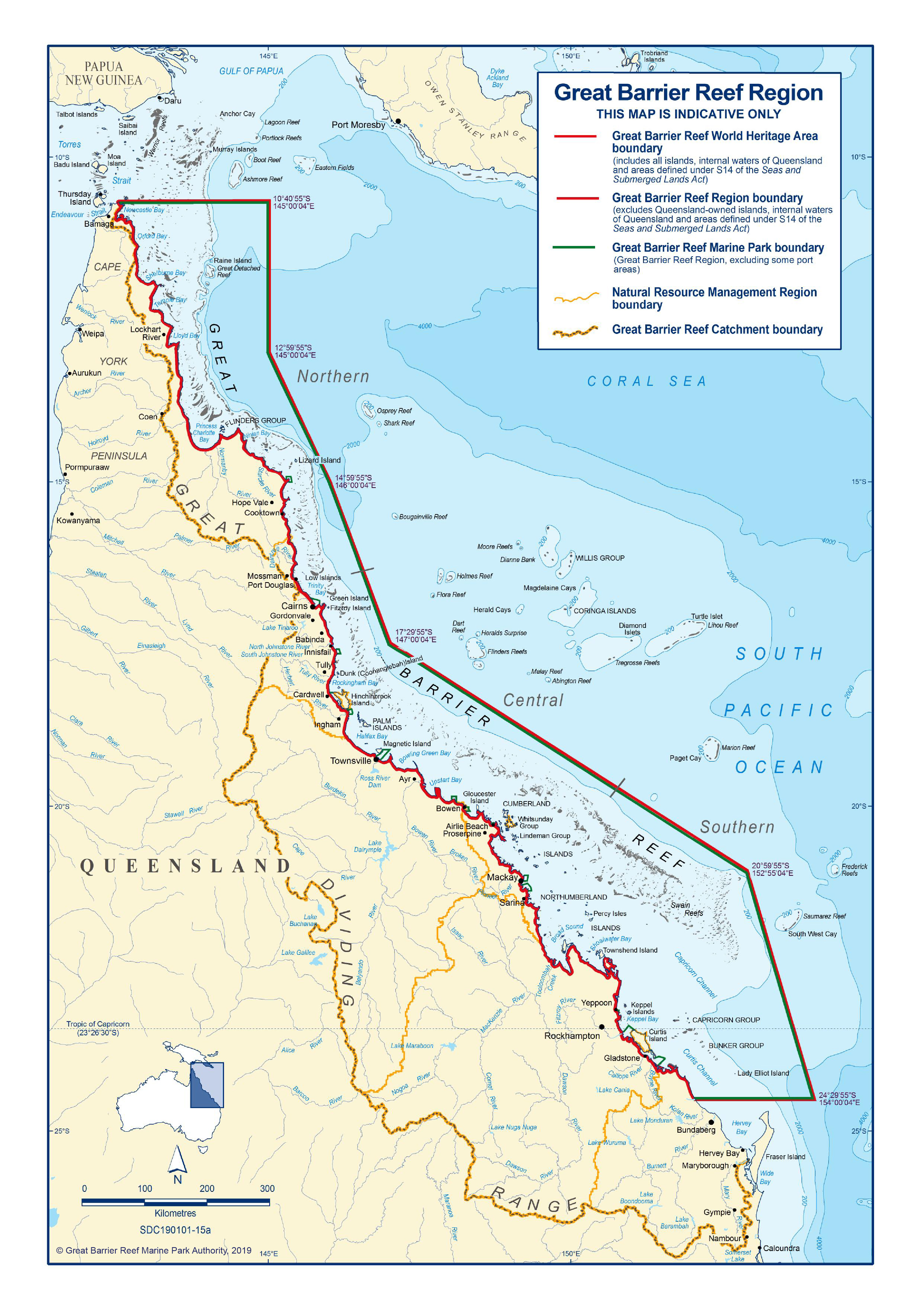 View/Open |
| SDC190101-15a-inc-copyright.pdf | A3 Map (PDF)) | 12.21 MB | Adobe PDF |  View/Open |
This item is licensed under a Creative Commons License
