Please use this identifier to cite or link to this item:
https://hdl.handle.net/11017/281

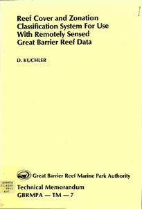
| Title: | Reef cover and zonation classification system for use with remotely sensed Great Barrier Reef data |
| Authors: | Great Barrier Reef Marine Park Authority |
| Keywords: | Aerial photography;Landsat satellites;Remote sensing;Great Barrier Reef (Qld.);Nomenclature |
| metadata.dc.subject.asfa: | Remote sensing Data acquisition Coral reefs |
| APAIS Subject: | Classification Mapping |
| metadata.dc.subject.location: | Reef-wide |
| metadata.dc.subject.category: | Processes Research |
| Year of publication: | 1986 |
| Publisher: | Great Barrier Reef Marine Park Authority |
| Series/Report no.: | Technical memorandum TM-7 Technical memorandum series |
| Abstract: | An integral part of any land cover mapping program is the selection of a suitable classification scheme for use at any specified scale, for any designated area, and within the capability of the information gathering techniques being used. Presented in this paper is a classification system which can be used in ground data collection or with aerial and orbital imagery for making surface cover and zonation interpretation maps. The classification system is designed to facilitate rapid and accurate identification, labelling and determination of significance of geomorphological reef features by the image interpreter and ground data collector. |
| URI: | https://hdl.handle.net/11017/281 |
| ISBN: | 9780642525130 |
| Type of document: | Report |
| Appears in Collections: | Management |
Files in This Item:
| File | Description | Size | Format | |
|---|---|---|---|---|
| Reef-Cover-Zonation-Classification-GBR-Data.PDF | main pdf | 18 MB | Adobe PDF |  View/Open |
Items in ELibrary are protected by copyright, with all rights reserved, unless otherwise indicated.
