Welcome to The Reef Authority
Great Barrier Reef Marine Park Authority
Please use this identifier to cite or link to this item:
https://hdl.handle.net/11017/1130
Full metadata record
| DC Field | Value | Language |
|---|---|---|
| dc.date.accessioned | 2012-11-06T22:45:06Z | - |
| dc.date.available | 2012-11-06T22:45:06Z | - |
| dc.date.copyright | 2007 | en |
| dc.date.issued | 2019 | en-US |
| dc.identifier.uri | https://hdl.handle.net/11017/1130 | - |
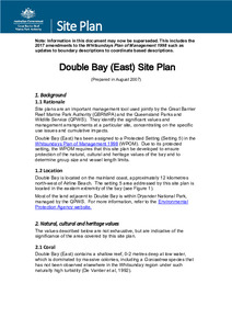
| dc.description.abstract | Text and map moved to current template: 'Prepared August 2007' | en |
| dc.publisher | Great Barrier Reef Marine Park Authority | en |
| dc.title | Double Bay (East) site plan | en |
| dc.type | Site Plan | * |
| dc.subject.asfa | Coastal zone management | en |
| dc.format.pages | 3 | en |
| dc.contributor.corpauthor | Great Barrier Reef Marine Park Authority | en |
| dc.subject.apais | Conservation (Natural resources) | en |
| dc.subject.apais | Environmental management | en |
| dc.publisher.place | Townsville | en |
| dc.subject.collection | Managing Multiple Use | en |
| dc.relation.connectiontogbrmpa | GBRMPA published this item | en |
| dc.subject.category | Information Publication Scheme | en |
| dc.subject.category | Cultural heritage | en |
| dc.subject.category | Natural heritage | en |
| dc.subject.category | Zones, plans and maps | en |
| Appears in Collections: | Management | |
Files in This Item:
| File | Description | Size | Format | |
|---|---|---|---|---|
| Double-Bay-site-specific-plan.pdf | Main document (PDF) | 1.54 MB | Adobe PDF |  View/Open |
| Double-Bay-site-specific-plan.doc | Main document (MS-Word) | 2.19 MB | Microsoft Word | View/Open |
| Double-Bay-East-Site-Plan.pdf | SUPERSEDED (PDF) | 41.42 kB | Adobe PDF | 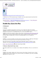 View/Open |
Items in ELibrary are protected by copyright, with all rights reserved, unless otherwise indicated.