Welcome to The Reef Authority
Great Barrier Reef Marine Park Authority
Search
Add filters:
Use filters to refine the search results.
Item hits:


Discover
Year of publication
Type
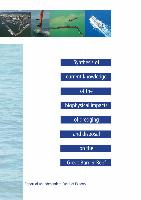
- 28 Report
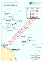
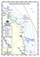
- 11 Map
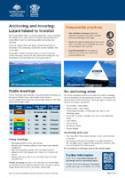
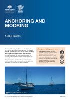
- 8 Brochure
- 4 Policy
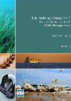
- 2 Guidelines
- 1 Information sheet
- 1 Other
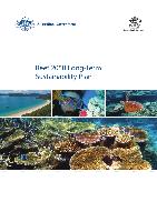
- 1 Strategy
- 1 Working paper