Welcome to The Reef Authority
Great Barrier Reef Marine Park Authority
Please use this identifier to cite or link to this item:
https://hdl.handle.net/11017/3126
Full metadata record
| DC Field | Value | Language |
|---|---|---|
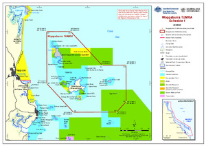
| dc.coverage.spatial | Yeppoon | en |
| dc.coverage.spatial | Keppel Islands | en |
| dc.coverage.spatial | Woppaburra TUMRA | en |
| dc.date.accessioned | 2017-03-13T03:04:47Z | - |
| dc.date.available | 2017-03-13T03:04:47Z | - |
| dc.date.copyright | 2013 | en |
| dc.date.issued | 2013 | en |
| dc.identifier.uri | https://hdl.handle.net/11017/3126 | - |
| dc.description | SDC 130707, July 2013 | en |
| dc.publisher | Great Barrier Reef Marine Park Authority | en |
| dc.rights | Commonwealth of Australia (Great Barrier Reef Marine Park Authority). | en |
| dc.title | Woppaburra TUMRA | en |
| dc.type | Map | en |
| dc.subject.asfa | Maps | en |
| dc.subject.asfa | zone | en |
| dc.format.pages | 1 | en |
| dc.contributor.corpauthor | Great Barrier Reef Marine Park Authority | en |
| dc.subject.apais | Mapping | en |
| dc.subject.apais | Environmental management | en |
| dc.publisher.place | Townsville | en |
| dc.subject.collection | Managing Multiple Use | en |
| dc.relation.connectiontogbrmpa | GBRMPA published this item | en |
| dc.subject.category | Traditional use | en |
| dc.subject.category | Zones, plans and maps | en |
| dc.subject.location | Mackay/Capricorn Management Area | en |
| dc.keywords | SDC 130707 | en |
| dc.keywords | Dharumbal | en |
| dc.keywords | Darumbal | en |
| Appears in Collections: | Management | |
Files in This Item:
| File | Description | Size | Format | |
|---|---|---|---|---|
| 130707-WoppaburraTUMRA.pdf | TUMRA Map - PDF | 609.43 kB | Adobe PDF | 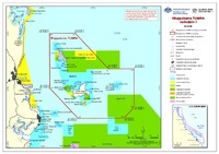 View/Open |
| 130707-WoppaburraTUMRA.jpg | TUMRA Map - JPG | 729.33 kB | JPEG | 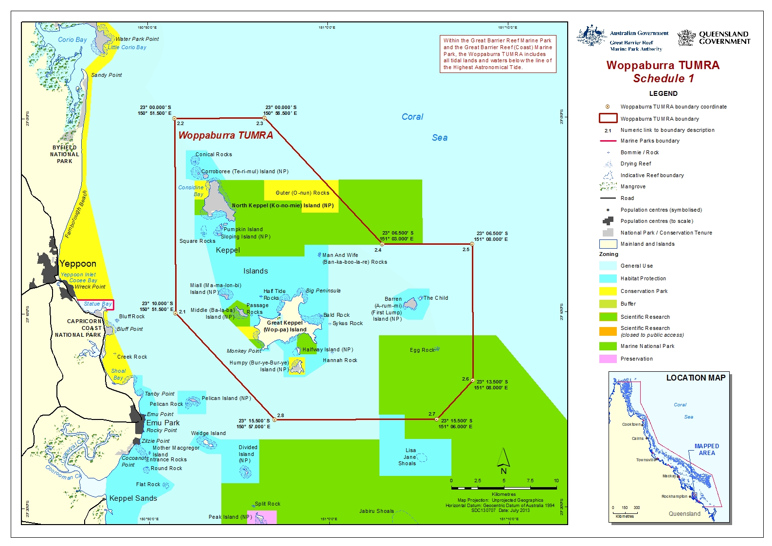 View/Open |
Items in ELibrary are protected by copyright, with all rights reserved, unless otherwise indicated.